Finger Lakes Maps
Sometimes a good map just wins out over a GPS as a go-to resource to maximize your time. Whether you want to explore Finger Lakes wineries by car, spend the day on a bicycle, take a hike in the woods, or paddle on a kayak adventure, there is a map to get you where you want to go! Print maps are available at the Finger Lakes Visitors Connection office and a variety of online maps can be found on our website for driving, hiking, biking, and paddling.
Driving Distances
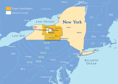
The Finger Lakes Region is located within a five-hour drive of most east coast metropolitan areas including New York City, Washington DC, Boston, Philadelphia, Toronto, Ottawa, Cleveland, and Hartford. This map will give you an idea of driving distances to Finger Lakes Visitors Connection, 19 Susan B. Anthony Lane, Canandaigua, NY 14424.
Finger Lakes Regional Map
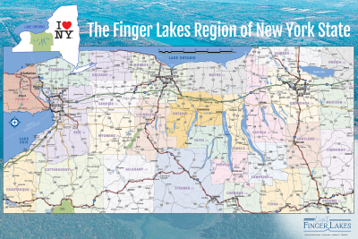
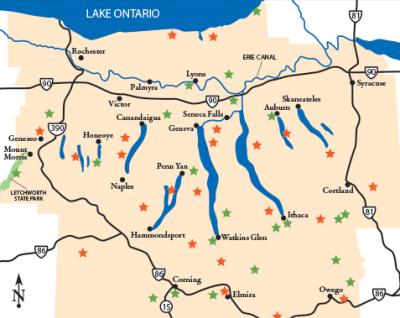
The Finger Lakes vacation area is 14 counties between Lake Ontario to the north and Pennsylvania to the south. This map shows all the lakes and the major highways from Western New York (Buffalo and Niagara Falls) to Syracuse and points a tad east. Ontario County is highlighted in the orange on this map.
Ontario County Road Map
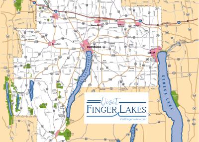
Ontario County features some of the most exciting views and attractions in the Finger Lakes Region. From unique museums and historic sites to world-class entertainment and family fun, the region is meant for a scenic driving vacation.
Wine & Craft Beverages
Canandaigua Lake Wine Trail
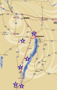
A boutique collection of unique wineries on the western edge of the Finger Lakes Wine Region, the Canandaigua Wine Lake Trail is small but outstanding. You will find spectacular scenery and fine wines, along with amazing restaurants and craft breweries, hotels and B&Bs, attractions, shopping, and golf.
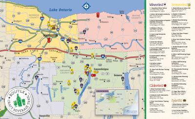
ROC/FLX Craft Beverage Trail
Finger Lakes and Rochester have a diverse selection of wineries, breweries, distilleries, and cideries, that all share common theme: they are serious about making an absolutely amazing product. With nearly 30 wineries, breweries, cideries, and distilleries on the map, and more popping up every day, the Rochester/Finger Lakes Craft Beverage Trail is an experience for any palate.
Outdoor Recreation & Wellness
Hiking and Biking Maps
These maps will take you on an adventurous tour through Ontario County on over 250 miles of hiking, biking, and water trails. Follow the link below for a full-trail listing and start planning your outdoor adventure.
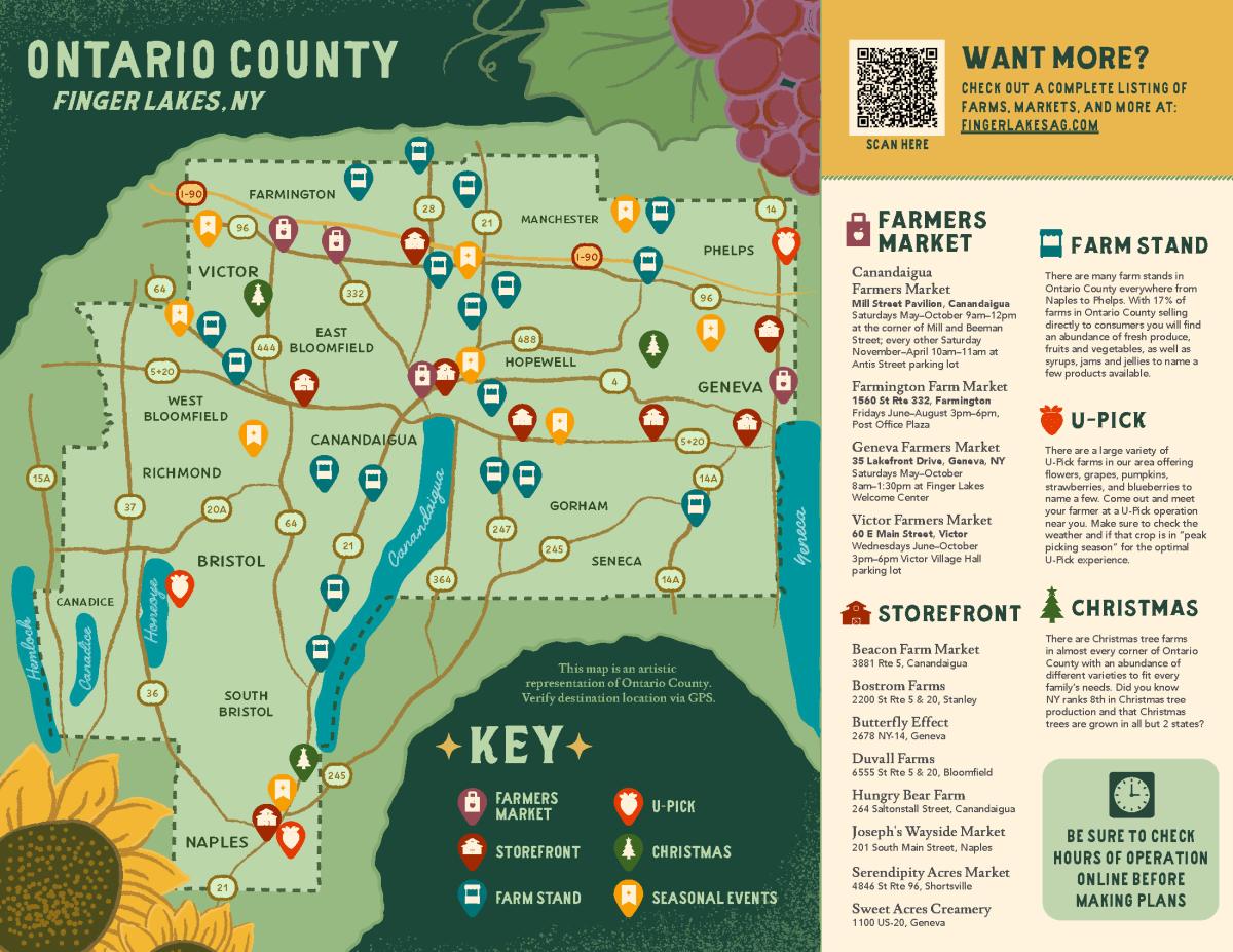
Ontario County Buy Local Guide - Farmers Markets & Stands
Indulge in the abundance of the Finger Lakes at our farmers markets and roadside stands. Our region is a culinary paradise where you'll discover fresh flavors and plenty of variety. Meet the farmers and the makers as you share in the bounty and diversity of New York State.


